
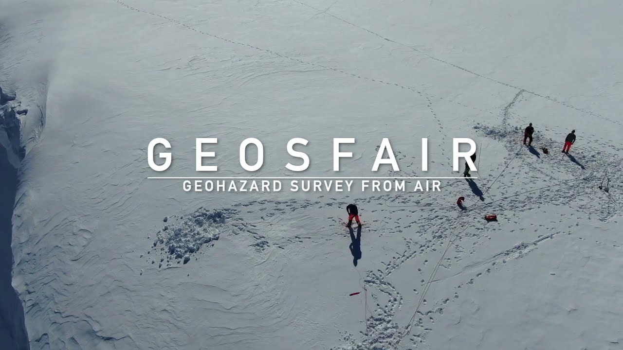
GEOSFAIR (Geohazard Survey from Air)
GEOSFAIR has developed methods and strategies for integrating instrumented drones into the NPRA's decision-making system for snow avalanche risk.
The technology has been tested under realistic field conditions, and both operational methodology and software have been developed throughout the project. In addition, the project provides recommendations and procedures for using cameras (for photogrammetry), lidar, and ground-penetrating radar (GPR).
The project was organized according to the Research Council of Norway’s guidelines for innovation projects in the public sector. It was led by the Norwegian Public Roads Administration and carried out in close collaboration with the research institutes NGI and SINTEF.
The final report from the project was published in August 2025.
About the project
The innovation project was carried out between 2021 and 2024, focusing on unmanned aerial systems (UAS). This included drones, sensors mounted on the drones, and software used to plan and execute flight operations.
The purpose of the project was to explore how these technologies can be effectively used to collect data from avalanche-prone areas, serving as a basis for geohazard analysis. Emphasis was placed on both the technical capabilities of the drones and the needs of decision-makers in the Norwegian Public Roads Administration and other road owners.
The project's main goal was to enhance safety and predictability for both personnel and road users, while maintaining good traffic flow. The idea is that increased road uptime requires solid documentation from avalanche areas, and that this information should be presented in a user-friendly format for professionals with expertise in geoscience and traffic management.
The main objectives were
- Identify and evaluate UAS (aircraft, sensors, and software) that are suitable for NPRA's geohazard applications.
- Specify requirements for adoption of UAS by decision makers within the NPRA and by other road owners.
- Test UASs and UAS-collected data under realistic field conditions and evaluate the results.
- Develop software and tools that provide usable information and allow rapid integration and support into the NPRA decision-making process.
Task and activites
The project carried out a range of tasks to make drones a useful tool. This included needs assessments, vendor demonstrations, fieldwork, mapping of current knowledge on available methods and experiences, and testing the quality and repeatability of photogrammetry, lidar, and ground-penetrating radar (GPR).
Guidelines were developed on how drones should be used as sensor platforms, along with recommendations for how road owners can organize their drone operations.
The project also investigated how access to new data influenced avalanche warning services. See the overview of reports and key publications at the bottom of this page.

Some conclusions from GEOSFAIR
- The Norwegian Public Roads Administration and other road authorities can operate drones and benefit significantly from their use.
- Both RTK drones and standard drones are necessary.
- There is generally little need to develop custom software, as existing tools on the market are sufficient and are rapidly evolving toward greater user-friendliness.
- Cameras for photogrammetry are the most useful and user-friendly sensors, but lidar and ground-penetrating radar (GPR) also have value and are expected to become even more valuable as usability improves and weight and cost decrease.
- Avalanche experts who respond to assess acute avalanche risk should primarily be drone pilots, have access to drones, and be able to carry out on-site drone operations.
- Avalanche experts should be able to collaborate with both maintenance personnel and contractors to conduct so-called remotely assisted drone operations, thereby saving travel time.
- Drone garages will be useful in operational settings to enable remote-controlled drone operations.
GEOSFAIR
You have to accept marketing cookies to be able to view YouTube content